
What do satellites do? The machines you used before breakfast
The time on your phone, the dot on the map, the weather icon, the bread on the table: an ordinary morning leans on a few hundred quiet machines that almost nobody thinks about. Where they are, how they work, and how easily they could be taken away.
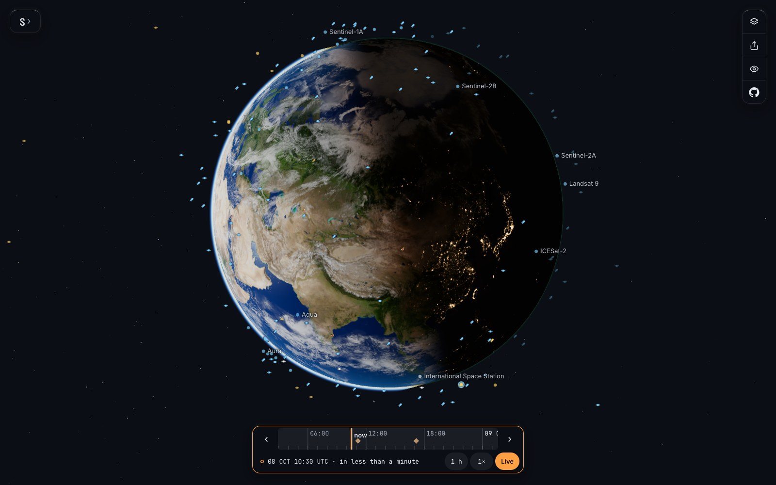
A few of the working satellites over the daylight side of the Earth, each where its orbit puts it. The named ones watch land, sea, ice and weather.
Picture an ordinary Tuesday in Leeds. At 06:30 a phone on a bedside table lights up and plays a sound. Its owner squints at a small cloud with two raindrops under it, decides against the bicycle, and checks that the 07:12 bus is four minutes away. In the kitchen there is toast. On the way out she looks at the map once more, and the bus is a small moving dot two streets away.
She has not thought about space once. Ask what satellites do, and most people say television, or spying, or something to do with rockets. But before breakfast this woman has used an atomic clock orbiting 20,000 kilometres up, a camera parked over the equator, another that skims over the poles, and very probably a tractor that steers itself by signals from the sky.
That gap between how much we lean on these machines and how little we notice them is the subject of this piece. In a survey of 20,000 people in eleven countries, carried out for the satellite operator Inmarsat in 2022, only eight percent connected space with communications at all. So here is the morning again, slowly, with the machines put back in: where they are, how they do it, and how sturdy the whole arrangement really is.
The clock in the sky#
Begin with the time on the phone, because it is the least understood. The Global Positioning System is usually described as a way of finding where you are. It is better understood as about thirty-one very good clocks, flying in six rings at about 20,200 kilometres, each one telling anyone who will listen what time it is and where it was when it said so.
Your phone does the rest. A signal from a satellite takes a moment to arrive, and the length of that moment is a distance. Hear four satellites and the phone can solve for four unknowns: where you are in three dimensions, and what time it really is. The system is arranged so that at least four are in view from almost anywhere on the planet. It is run by a single unit of the United States Space Force, the 2nd Space Operations Squadron, from a base in Colorado, and since May 2000, when a deliberate blurring of the civilian signal was switched off, it has been both accurate and free.
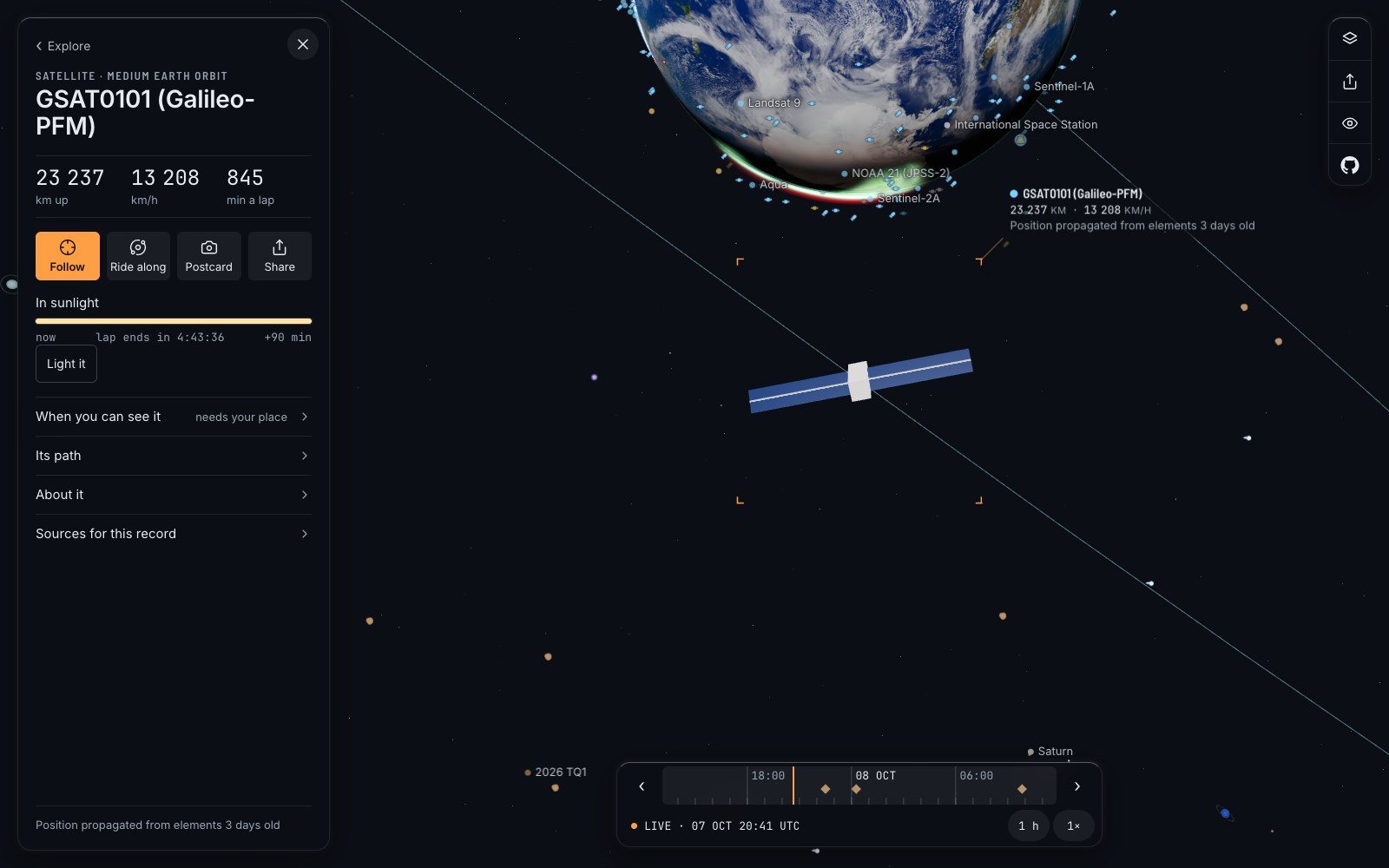
I looked for these satellites on Space Radar, a free live map of everything in orbit that draws each object where its published orbit puts it. Its standing view carries Europe’s twin of GPS, which works the same way: here is one of the Galileo navigation satellites, about 23,000 kilometres up and fourteen hours to a lap, far above the crowded low orbits.
The accuracy this takes is hard to hold in the head. Light travels about thirty centimetres in a billionth of a second, so a clock that is wrong by one billionth of a second puts you thirty centimetres off. And the clocks do not even run at the same rate as ours. They are moving fast, which by Einstein’s special relativity slows them, and they are high in the Earth’s gravity, which by general relativity speeds them up. The second effect wins.
- 38 millionths of a secondis how much a GPS satellite’s clock gains on a clock on the ground every day. Left uncorrected, the error in your position would grow by about eleven kilometres a day.
The engineers who built the system set the satellite clocks to tick slightly slow on the ground so that they would be right in orbit. Every blue dot on every map is a small daily confirmation that Einstein was correct.
Time is the real product#
Here is the part that surprised me most. For much of the economy the useful thing about GPS is not the position at all. It is the time.
The United States government’s own description is blunt: communication systems, electrical power grids and financial networks all rely on precision timing, and mobile networks use GPS time to keep all of their base stations in step. That is the bedside phone: it knows the time because the mast it talks to is listening to the sky. It is the stock market too. American brokers are required to stamp their trades with clocks held within fifty thousandths of a second of the official national time, and a receiver on the roof listening to the same satellites is a standard way to do it.
We know what happens when the time is wrong, because it has been. In January 2016, while an old GPS satellite was being retired, a software error left fifteen others broadcasting a time signal that was off by thirteen millionths of a second. Thirteen millionths. Timing equipment around the world raised alarms for hours.
A study commissioned by the American standards institute, NIST, put a number on the dependence in 2019: a loss of GPS would cost the United States economy about a billion dollars a day. A British government estimate in 2025 was 1.4 billion pounds for a single day.
The picture of the weather#
Now the little cloud. On 1 April 1960 the United States launched TIROS-1, the first weather satellite. It worked for 78 days and sent back more than 19,000 usable pictures, and nobody who forecasts the weather has been willing to go without since.
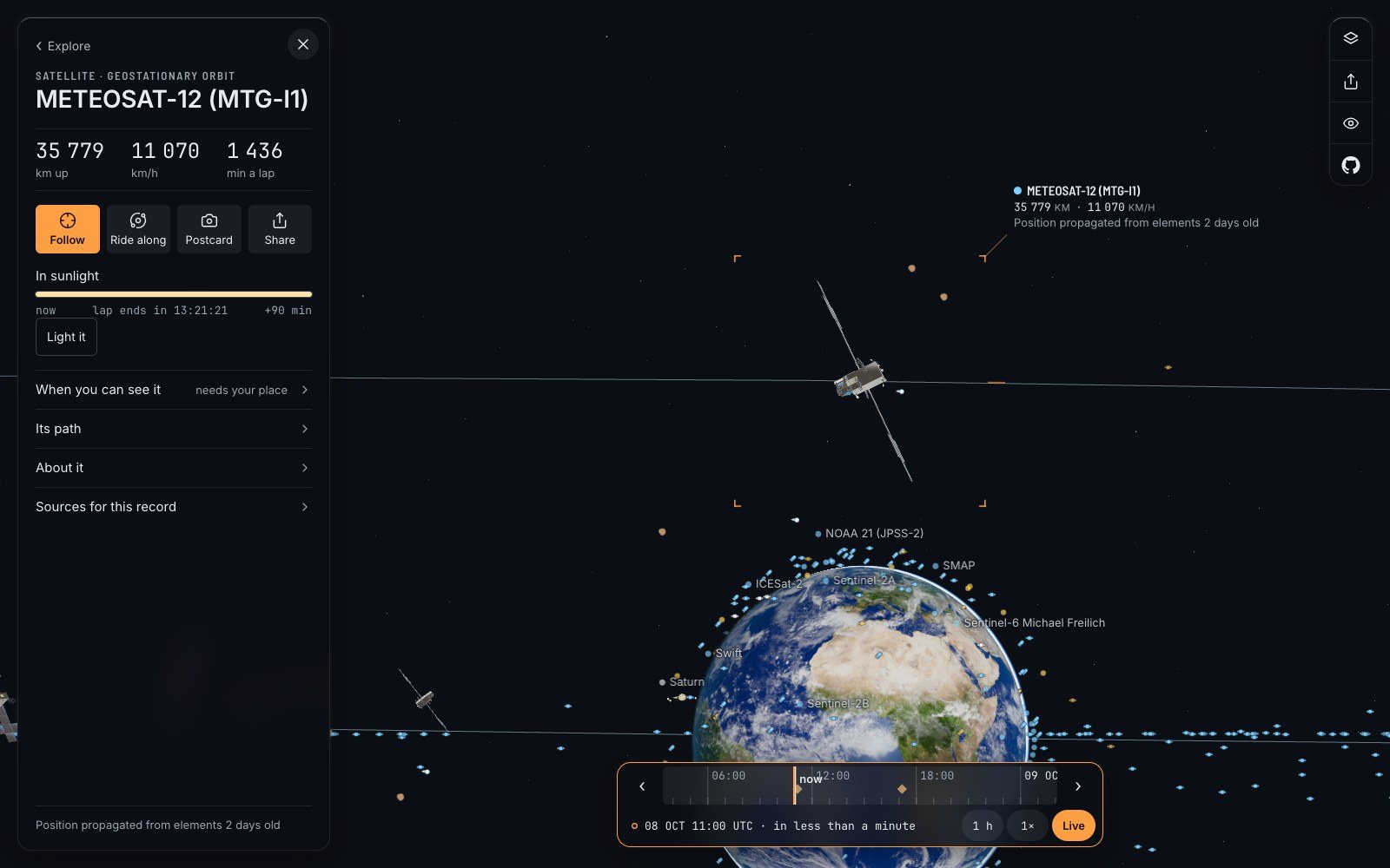
Today’s picture comes from two kinds of machine. The first kind sits in a ring about 35,800 kilometres above the equator, where one lap takes exactly one day, so the satellite hangs over the same spot. From there a camera sees a whole face of the planet at once. Europe and Africa are watched by Meteosat-12, which went into service in December 2024 and scans the full disc every ten minutes. The Americas are watched by GOES-19, which took over the eastern slot in April 2025.
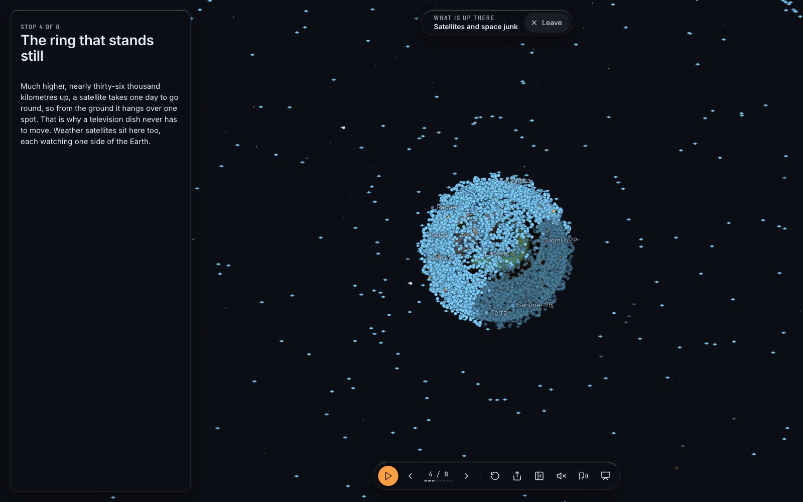
The second kind flies low, over the poles, about fourteen laps a day, while the planet turns underneath, so that it sees every place on Earth twice a day from close up. These are the ones that measure temperature and moisture through the depth of the air, and forecasters prize them at least as much as the pictures. The European forecasting centre in Reading receives around 800 million observations a day and uses about 60 million of them, most from some ninety instruments on satellites.
What all this bought is easy to state. Forecasts have improved by about one day per decade: a six-day forecast is now as good as a five-day forecast was ten years earlier, a result set out in a much-cited paper in Nature in 2015. The cloud-and-raindrops icon is the output of a planet-sized measuring instrument, and you looked at it for under a second.
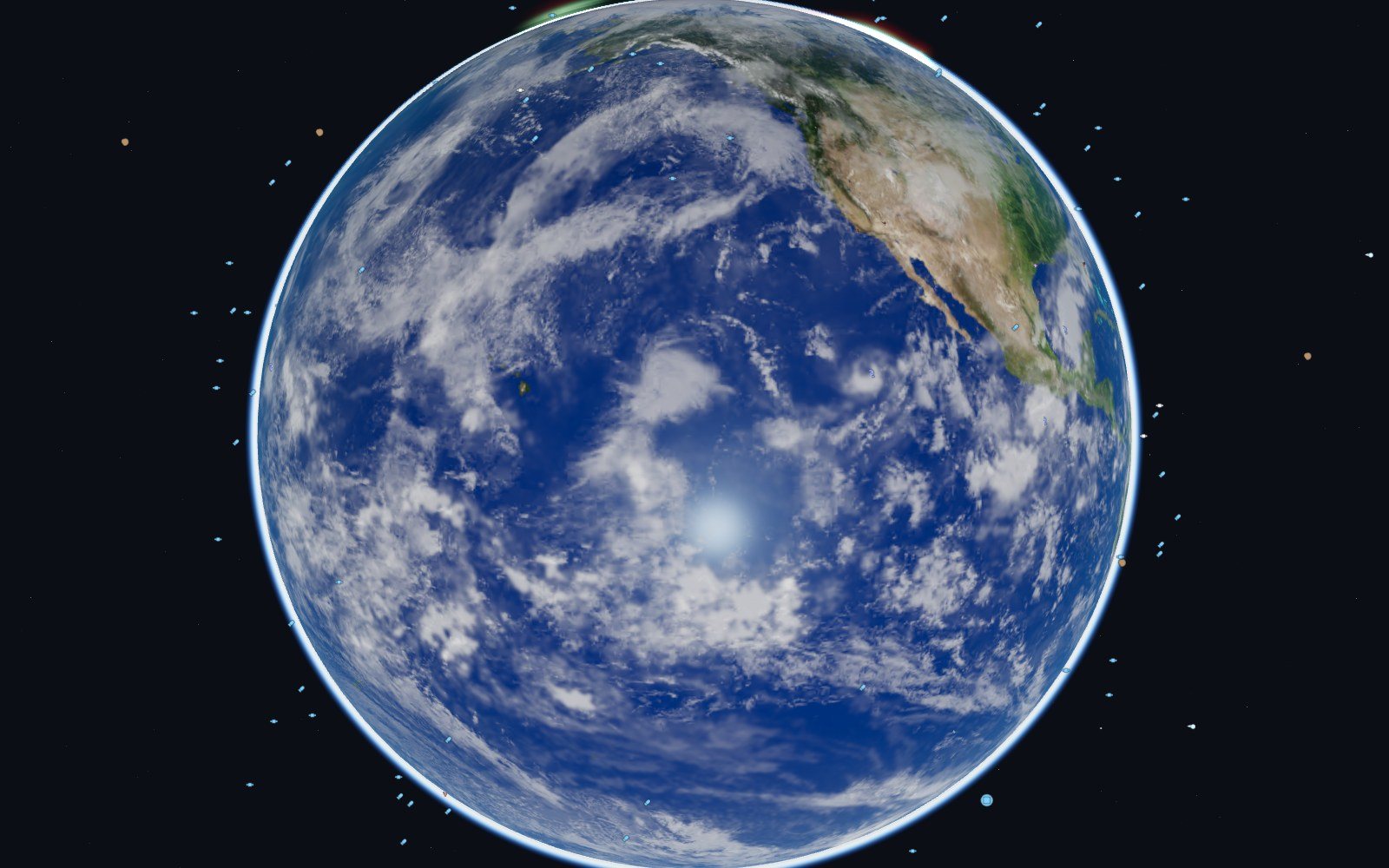
You can see the same thing a forecaster starts from. The trip called “The living Earth” on the map stops at the day’s weather, drawn from real satellite data: cloud, storms and the winds between them.
The field, the ship and the beacon#
The toast has a satellite in it as well. Landsat, a programme that began in July 1972, has photographed the land surface of the whole planet ever since. Its newest member, Landsat 9, flies 705 kilometres up and comes back over the same field every sixteen days; with its twin, every eight. Each pixel is thirty metres across, and the pictures are free. A grower can see which corner of a field is thirsty before it shows from the gate.
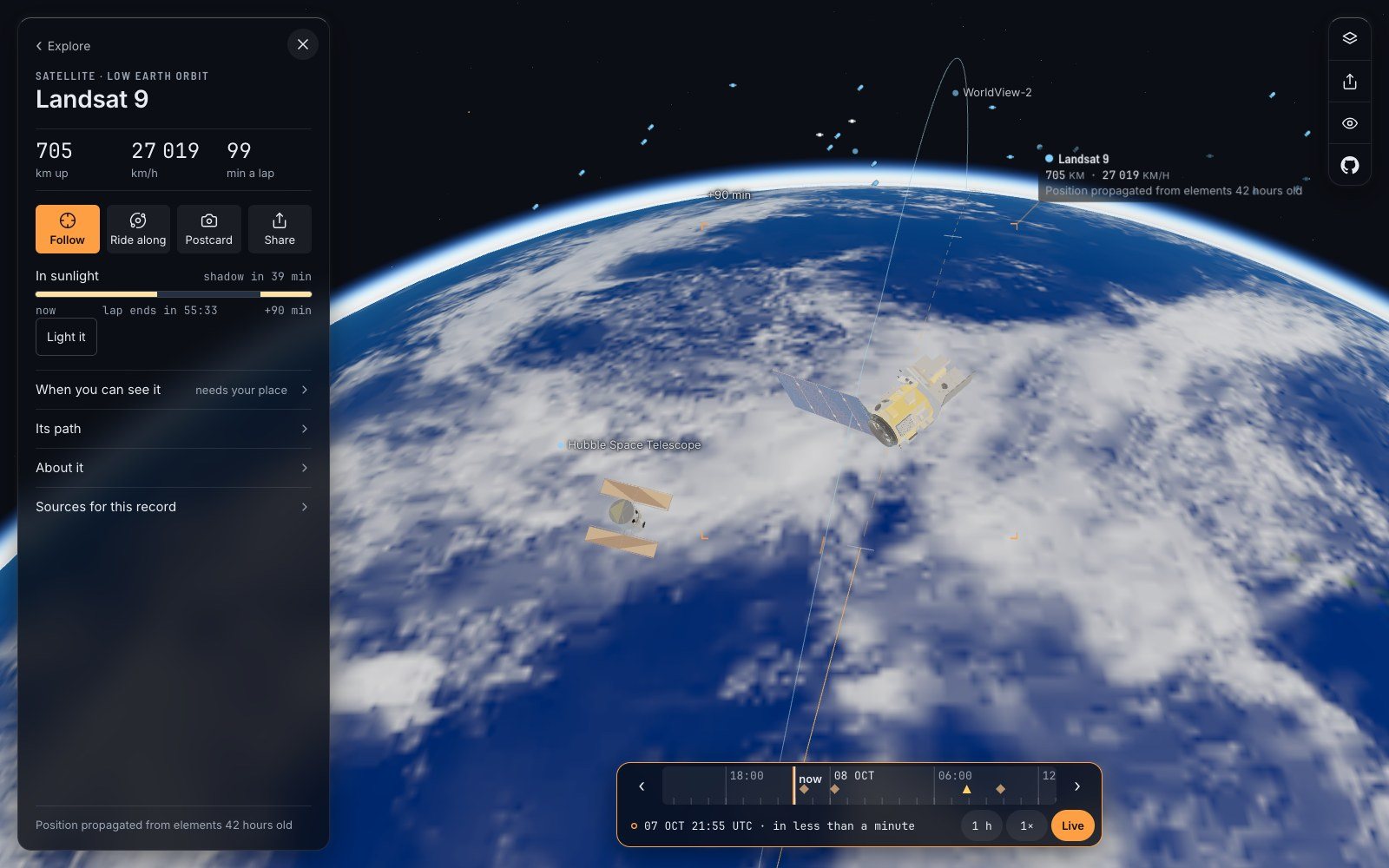
Then the tractor drives itself along the rows. By the American agriculture department’s figures, automatic steering guided by satellite was already used on more than half of the country’s maize and soya-bean land by 2016 to 2018, and on around seventy percent of the largest farms. Less overlap, less fuel, less fertiliser.
The pattern repeats wherever things move. Every ship of 300 gross tons or more on an international voyage must carry a transponder that broadcasts who and where it is, and more than 80 percent of the world’s trade by volume goes by sea. The parcel you are waiting for is, somewhere, a dot.
And then there is the service you hope never to use. Since 1982 an international system called Cospas-Sarsat has listened from orbit for distress beacons from boats, aircraft and walkers. Its own tally is at least 67,000 people rescued in more than 21,000 emergencies, including 3,211 people in 2024 alone.
How easily it could be taken away#
So how sturdy is all this? In number, very. There is not one navigation system but four with global reach: the American one, Europe’s Galileo, Russia’s GLONASS and China’s BeiDou, and a modern phone listens to several at once. Galileo’s satellites fly a little higher than GPS, at 23,222 kilometres, and the European Space Agency says more than five billion smartphone users now rely on them.
In kind, it is fragile. A navigation signal has travelled 20,000 kilometres by the time it reaches you, and it arrives extraordinarily faint. It can be drowned out by a cheap transmitter, or imitated by a clever one. An industry group that tracks this found that by August 2024 an average of 1,500 flights a day were being fed false positions, five times the rate at the start of that year. In October 2025 the assembly of the United Nations aviation agency formally condemned interference it traced to North Korea and Russia. Pilots have other instruments. A delivery app does not.
The Sun can do it too. During the great solar storm of 10 to 12 May 2024, in the middle of the planting season, precision guidance failed on farms across the American Midwest. One agricultural economist put the cost to growers at more than half a billion dollars.
One wrong number in January 2016 was thirteen millionths of a second, and it set off alarms around the world.
Governments have begun to act as though they believe their own estimates. In November 2025 Britain announced 155 million pounds for backups, including a ground-based radio navigation system and a national timing centre that does not depend on the sky.
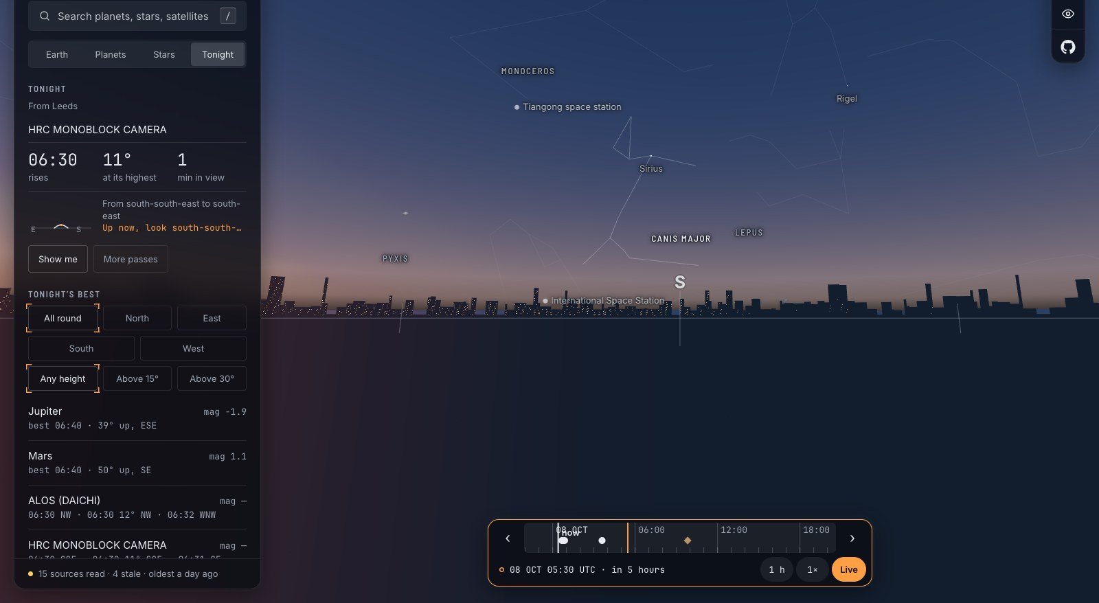
Tomorrow morning, then, before breakfast. When the phone lights up, give it one extra second of attention. The time on it came down from a clock that Einstein had to correct. The cloud icon came from a camera hanging over the Gulf of Guinea. And if you step outside and find a satellite dish on a neighbour’s wall, look along it: it is pointing at one particular machine, some 36,000 kilometres above the equator, and it has never once needed to move.
Questions people ask
What do satellites do?
They tell the time, fix positions, relay calls, television and internet, photograph weather, land and sea, and listen for distress beacons. Most of what an ordinary person uses them for happens without their knowing: phone networks, payments, forecasts and maps all depend on them.
How does GPS work?
Each GPS satellite broadcasts the exact time and its own position. A receiver measures how long the signals from at least four satellites took to arrive, turns those delays into distances, and solves for where it is and what time it is.
How many GPS satellites are there?
About thirty-one are in operation, flying at roughly 20,200 kilometres in six orbital planes. Europe’s Galileo, Russia’s GLONASS and China’s BeiDou run similar constellations, and most phones use several of them together.
What would happen if GPS stopped working?
Navigation would be the visible loss, but timing would be the serious one: mobile networks, power grids and financial markets use GPS time to stay in step. Estimates of the cost run to about a billion dollars a day for the United States alone.
Sources
- All rely on precision timing archive.gps.gov
- About a billion dollars a day nist.gov
- Gpsworld.com: report what on earth is the value of space gpsworld.com
- Gps.gov: space segment gps.gov
- Archive.gps.gov: control archive.gps.gov
- Archive.gps.gov: sa archive.gps.gov
- Finra.org finra.org
- Insidegnss.com: gps experiences utc timing iif satellite launcher problems insidegnss.com
- Gov.uk: landmark government investment to safeguard the essential signals we all rely on gov.uk
- Nesdis.noaa.gov: celebrating 60 years world's first weather satellite nesdis.noaa.gov
- Nesdis.noaa.gov: noaas goes 19 now operational goes east providing critical new data forecasters nesdis.noaa.gov
- Wmo.int wmo.int
- Ecmwf.int ecmwf.int
- Usgs.gov: landsat 9 usgs.gov
- Ers.usda.gov: most row crop acreage managed using auto steer and guidance systems ers.usda.gov
- Imo.org: AIS.aspx imo.org
- Icao.int: AI03%20WP04%20Status%20of%20the%20Cospas Sarsat%20Programme.pdf icao.int
- Esa.int: Two new Galileo satellites enter service esa.int
- Ops.group: gps spoofing final report ops.group
- Icao.int: icao assembly condemns gnss radio frequency interference originating dprk and russian icao.int
- Extension.k-state.edu: agriculture solar weather gps outage extension.k-state.edu
Explore on Space Radar
Keep reading
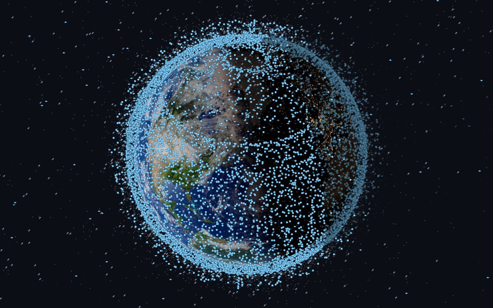
How many satellites are in orbit? The junkyard above us
About seventeen thousand working machines, and at least as many dead ones, share the space a few hundred kilometres over your head. How it filled up in one lifetime, who keeps the list, what a collision looks like, and why it reaches your weather forecast.
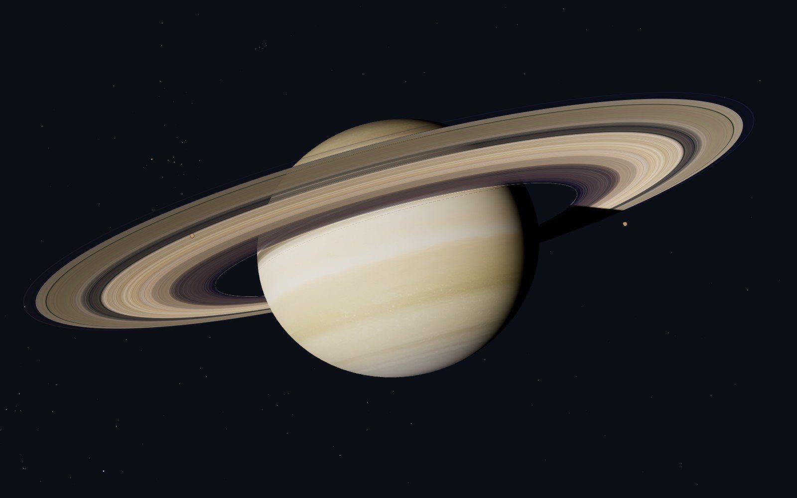
A live satellite map that tells you when it is guessing
Space Radar draws everything in orbit where it really is, for people who have never heard of an orbital element. Why I think a map of space has to be honest and kind at once, what that costs, and why it is free and open.
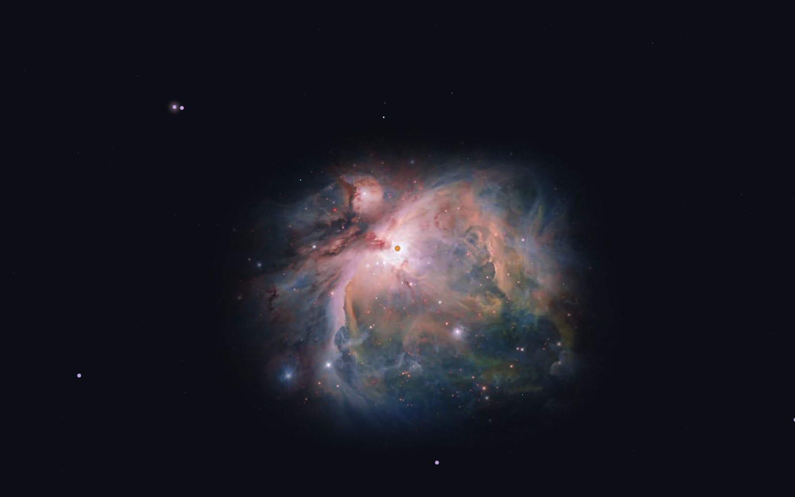
How accurate is satellite tracking? Follow the numbers
A map of space is a pile of other people’s measurements. Who made them, how old they are, which parts are computed, which are photographs and which are honest drawings, and how to send a correction when one of them is wrong.